
 01
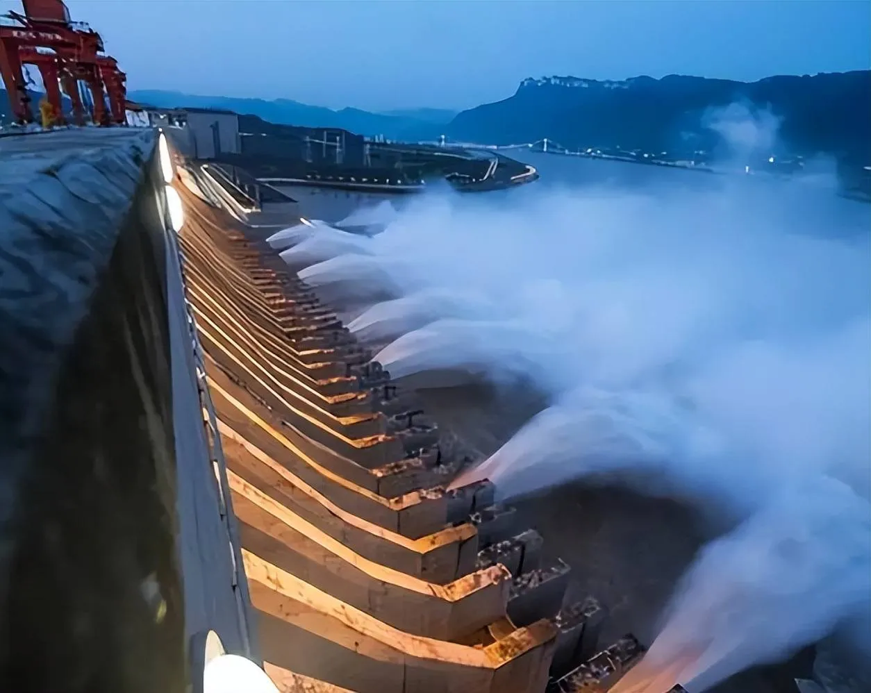
01Dam deformation
Three Gorges Dam
Long-term measurements relate local deformation and temperature response to the behavior of a major hydraulic structure.
- Hydraulic structure
- Long-term response
Applications & case studies
These cases connect distributed measurements to slopes, embankments, dams and rock masses where geology, water and spatial coverage shape the result.
How to read the cases
Surface movement, internal deformation and temperature can describe different mechanisms. The sensing layout must follow the expected deformation path rather than simply cover the most accessible location.
Field references
01Dam deformation
Long-term measurements relate local deformation and temperature response to the behavior of a major hydraulic structure.
 02
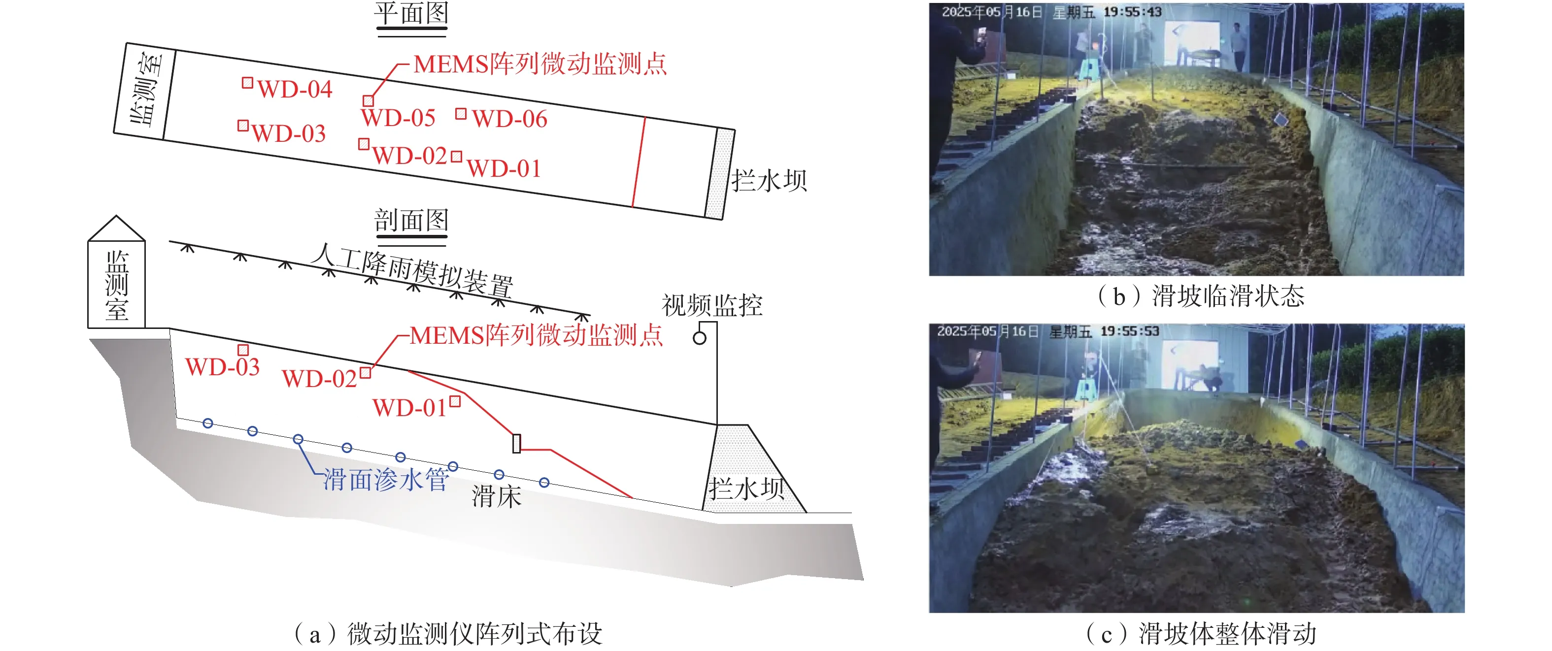
02Subsurface movement
Depth-referenced measurements help distinguish surface observations from movement developing within the slope.
 03
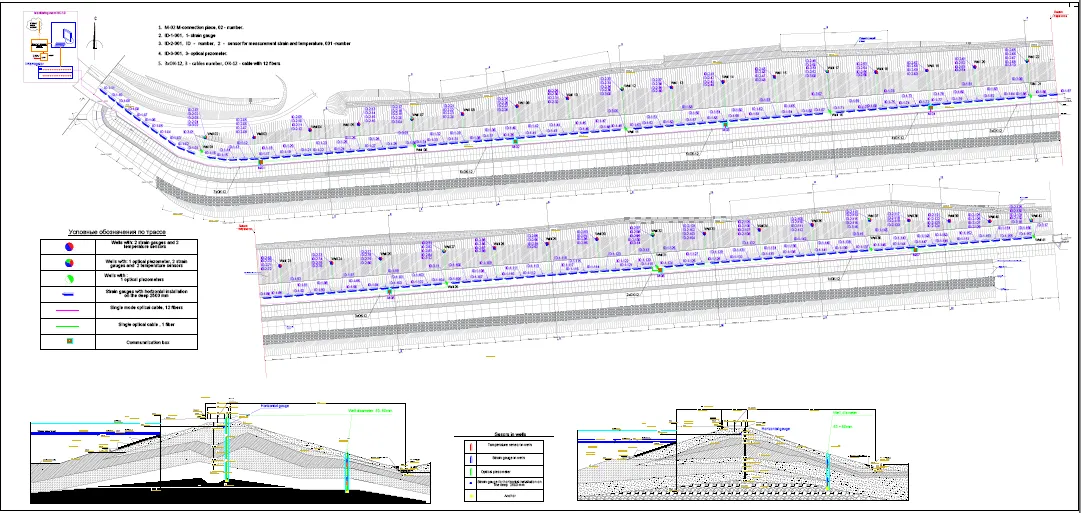
03Embankment behavior
Distributed measurements preserve the spatial relationship between the sensing line and the dam cross-section.
 04
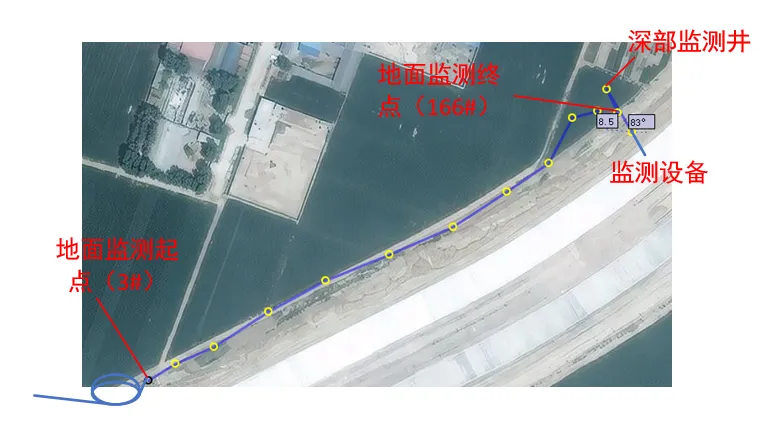
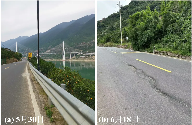
04Riverbank displacement
Monitoring along the embankment records how deformation varies across a long and environmentally exposed boundary.
 05
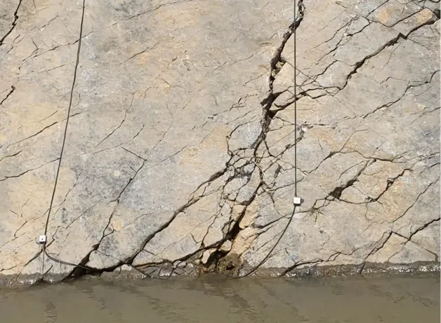
05Rock-mass instability
Sensing coverage is aligned with the expected movement zone to support event localization and warning.
 06
06Automated slope monitoring
Continuous records connect changing ground response to location and time rather than treating the slope as one point.
 07
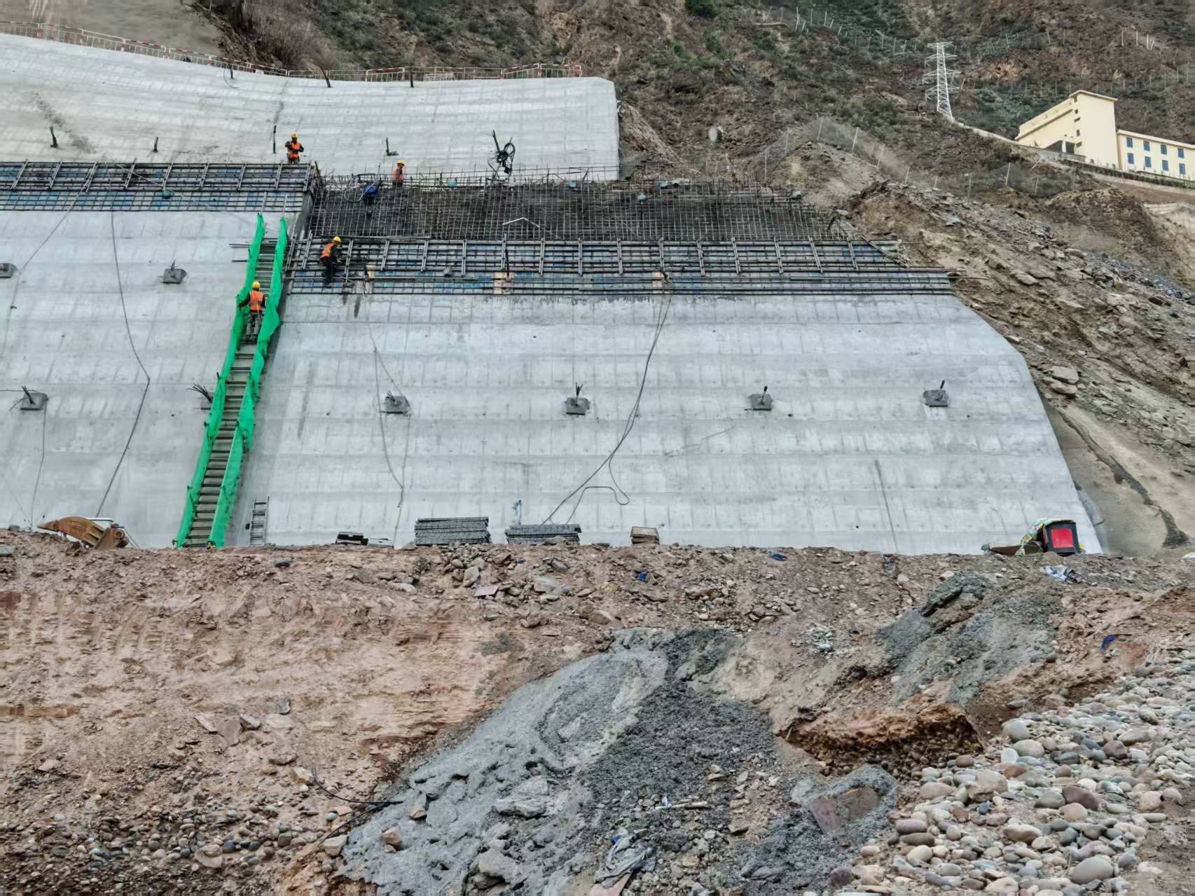
07Embedded strain & temperature sensing
A four-route UW-FBG design integrates strain and temperature sensing with the reinforcement of a concrete slope facing.
Evidence example
For slopes and embankments, a measured change must be interpreted against depth, material boundaries and the anticipated movement surface. The installation geometry is therefore part of the evidence.
Related monitoring approach
The geohazard solution links expected movement mechanisms to sensing direction, spatial coverage and warning logic.
Discuss a monitoring requirement
These inputs define where a sensing line can provide meaningful evidence.