Monitoring solution

Distributed sensing for dams, slopes and geohazards.

Continuous distributed deformation, seepage, and vibration monitoring for dams, slopes, embankments, and landslide-prone areas — early warning of geohazards with UW-FBG and uwDAS fiber optic technology.
Dams, Slopes & Hydraulic Engineering field environment
Dams, Slopes & Hydraulic Engineering

The engineering question

What must be observed before failure becomes visible?

Dams, slopes, and embankments are exposed to gradual yet potentially catastrophic failure mechanisms — internal seepage, progressive sliding, foundation settlement, and earthquake-induced instability. Conventional inclinometers and piezometers provide only sparse point measurements that easily miss critical deformation zones.

Geological hazards such as landslides and rockfalls develop over months or years of progressive displacement, but once acceleration begins, rapid failure can occur within hours. The monitoring challenge demands distributed, continuous, high-sensitivity deformation sensing across the entire at-risk area — not just at a few instrumented boreholes.

Monitoring boundary

Define the quantity, coverage and required response first.

01

Internal Deformation

Continuous inclination profile with 0.01° resolution

UW-FBG flexible inclinometer array
02

Surface Displacement

Sub-mm surface movement detection across slopes

UW-FBG strain cable arrays
03

Seepage / Pore Pressure

Distributed temperature anomalies from seepage flow

UW-DTS temperature profiling
04

Crack Monitoring

Multi-point crack opening detection

FBG displacement sensors at joints
05

Dynamic / Seismic Response

Vibration monitoring during earthquakes and blasting

uwDAS distributed acoustic sensing
06

Early Warning

Real-time alert at pre-defined displacement thresholds

Automated Ray-Sensor alert platform
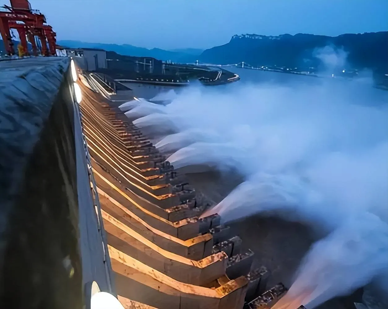
Three Gorges Dam Monitoring
Three Gorges Dam Monitoring — Dam deformation.

Sensing chain

Treat sensing, interrogation and interpretation as one system.

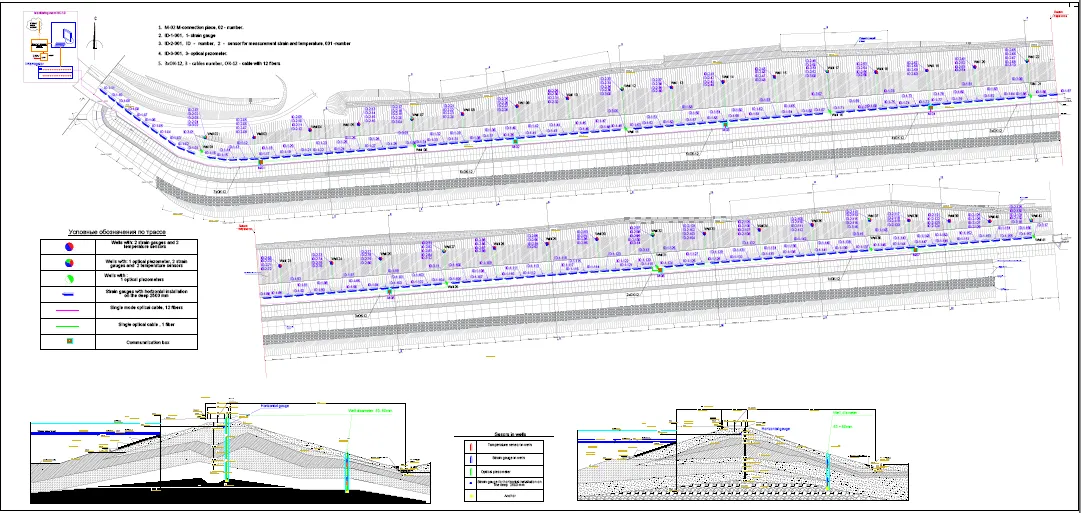
The geohazard monitoring system deploys UW-FBG flexible inclinometer chains in boreholes across the dam body or slope, providing continuous deformation profiles with 0.01° resolution. Surface strain cables laid along slope contours and embankment crests detect sub-mm displacement — early signals of landslide initiation or settlement. UW-DTS fiber buried in dam foundations identifies seepage paths through distributed temperature anomaly detection, while uwDAS fiber installed along the dam crest captures micro-seismic and vibration signatures during earthquakes and blasting. All sensing channels are aggregated at the RS-DSS/DTS interrogator and transmitted to the cloud-based Ray-Sensor platform for real-time analysis, three-stage threshold-based alerts, and long-term trend forecasting with automated reporting.

Field placement

Translate the monitoring question into a placement plan.

  1. 01

    UW-FBG flexible inclinometer arrays in boreholes (0.5–1 m sensor spacing)

  2. 02

    Surface strain cables laid along slope contours and embankment crests

  3. 03

    UW-DTS fiber buried in dam foundation for seepage temperature anomaly detection

  4. 04

    uwDAS fiber installed along the dam crest for seismic/micro-vibration monitoring

  5. 05

    RS-DSS/DTS multi-channel interrogator housed in an on-site shelter

  6. 06

    Solar-powered remote monitoring stations for off-grid landslide sites

  7. 07

    Ray-Sensor cloud platform with automated SMS/email early warning alerts

Engineering record

What continuous measurements make visible.

  • Continuous deformation profiles replacing sparse point measurements — full slope or dam coverage from a single fiber
  • Early warning days or weeks before catastrophic failure with three-stage threshold alerting
  • Seepage localization via distributed temperature sensing — detect internal erosion before it becomes visible
  • Reduced manual inspection frequency in hazardous slope and dam areas — automated 24/7 monitoring
  • Solar-powered remote monitoring stations for off-grid landslide and rockfall sites
  • Proven reliability on major projects including Three Gorges Dam, South-North Water Transfer Embankment, Finland MS Dam, and Beibei Landslide

Define the monitoring boundary

Start with the asset, failure mode and required coverage.

These inputs determine the sensing layout more reliably than choosing an instrument first.
Talk to an engineer